


 Download(30.8MB)
 1.0.8
1.0.8
 5.24MB
9.5
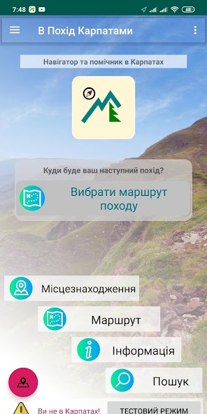
Navigator for Ukrainian Carpathians Hiking and Backpacking. Offline maps support
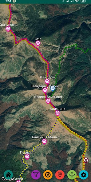
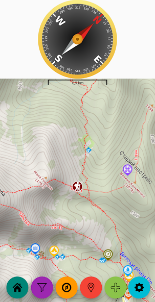
"Trekking Carpathians" -helps to travel Ukrainian Carpathians (Hiking, Backpacking etc). The core tool is a interactive topographic map, supported by the app users. .
- Offline mode support, the navigator works without internet connection.
This is known, there is no good mobile internet covering in Carpahtians.
- Low battery usage.
GPS works only when you actively use the app
- Offline maps can be downloaded for all region or for selected areas in the region, this helps to control space used o a mobile device
- The directory of towns, info on local public transport, search for closest towns, villages
- Weather forecast for selected areas, towns in the region
- Users can exchange with photos and comments on the map objects, places, towns etc.
- Quick search for water sources, buildings, rescue places, interesting places
 Similarity
January 22, 2026
January 22, 2026
January 21, 2026
January 21, 2026
January 21, 2026
January 21, 2026
January 21, 2026
January 21, 2026
January 21, 2026
January 20, 2026
January 20, 2026
January 20, 2026